This approach definitely aligns with the runway. It a LPV approach Runway 1 Sebring Fl.
Using airport Identifiers (KSEF, in this case) would make it a lot easier for folks at home to follow along. So yes - the approach is aligned. What's your definition of "not aligned"? Heading not 005? Track not 005? What were the winds? Are you using a Flight Director? AutoPilot? If the A/P, how does it do wrt holding course in NAV mode? How does it do when using the Dynon flight plan as a navigation source vs. using the GPS 175 as a navigation source when enroute?
Im thinking its a glitch with the Gnx 175
There's no such thing as a Gnx175 - it's a GPS 175 - I've got one in my COZY MKIV. There's nowhere near enough information in your postings to make that assumption. Is the GPS 175 connected to the Dynon Skyview through an ARINC-429 module? Have you checked all the hardware connections to make sure all the pins are connected and clean?
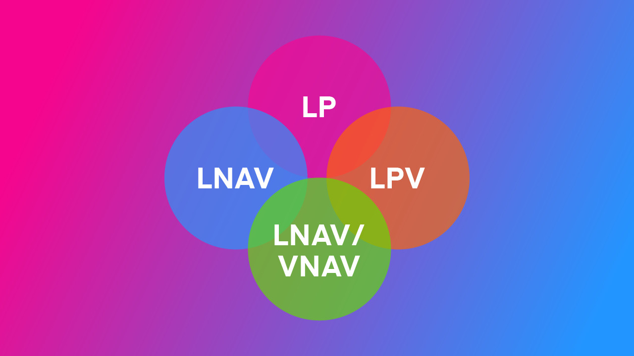
Is there any information regarding approaches pertaining the Skyview?
What does that mean? Assuming you've got the Skyview set to use the GPS 175 as the flight plan guidance, it will follow whatever purple line the GPS 175 gives it, both horizontally and vertically. Do you have the Seattle Avionics plates loaded? If so, what were you seeing on the screen for the KSEF RNAV01 approach.
I didnt see any information in the Pilots manual.
Revision P shows the word "approach" occurring on 20 pages in the PIlot's User Guide.
Whats the normal range for the glideslope to activate?
The VNAV will activate upon reaching the approach segment leading to the FAF, so in this case, upon passing EMBRU on the way to POPMM.
Please don't force people to pull teeth to help you... I'm sure there'll be more questions, but at least answering these will let folks get somewhere near to where you are...