Update for Canada: US and West EU or other?

Riseric

New Member
Joined
Jun 8, 2020
Messages
9
Location
CNV9
Hi, does anyone now if the "US and Western Europe only" software updates includes data usable for canadian based aircraft, or should I dowload the version for the "rest of the world"?
Does the "rest of the world" database include USA?
As I plan to fly occasionnaly to the USA, I hope to have the correct database installed.
Same question concerning the Dynon AV data and OBS data?
I currently have a PocketFMS subsciption for AV and OBS that states "North America including Canada" but was wondering if the US Dynon data includes Canada also?
Thanks,
Eric
 

Dynon

Dynon Staff
Staff member
Joined
Jan 14, 2013
Messages
14,222
Location
Woodinville, WA
The US package has the same FAA aviation/obstacle databases that are available on our side. They're rolled up for convenience. It does not include Canadian data, other than what the FAA data happens to cover (a bit over the border, essentially).
 

Riseric

New Member
Joined
Jun 8, 2020
Messages
9
Location
CNV9
Thanks, so I'll then continue using "Method 2: Individual SkyView Files and Detailed Updating Procedures" and the PocketFMS data.
I was just curious of what are the differences, if any, in the software for the HDX, (i.e. 16.3.2) between the US & EU package and the method 2 data.
 

soarhead

Member
Joined
Mar 2, 2021
Messages
41
I have been using Pocket FMS data and it works fine so far when I fly into the US. I also tried Seattle Avionics data which compared to Pocket FMS, is a total PITA to update and even though they claim to cover Southern Canada as far as the paper US Charts go, their data is seriously lacking. Missing waypoints on both IFR and VFR charts. Pocket FMS updates in less than a minute and has always been accurate.
 

jnmeade

Active Member
Joined
Oct 9, 2011
Messages
308
Location
Eastern Iowa
Based on comments above, I researched PocketFMS online and would like to learn more about it. I think their website is confusing to the neophyte. Any suggestions on where to go? I have one plane VFR with HDX and another plane IFR with dual DT1000.
 

soarhead

Member
Joined
Mar 2, 2021
Messages
41
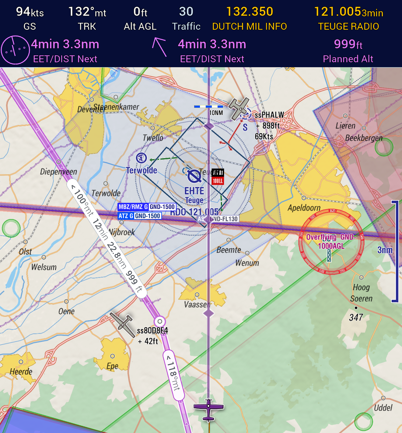
A PocketFMS data subscription for the Dynon can be purchased for €119 a year. This gives you all of the obstacle and navigation/airport data for Canada and the US. It does not display an AIR5000 type of map, just the data. With that, you can see, search and display airspace info, waypoints, navaids and airports and see terrain. When you select an airport, comm and airport data is available. I have attached a pic of the map while I’m sitting on the ground. You can see waypoints for the RNAV approaches and a restricted airspace to the South. It will tell you what class of airspace you are currently flying in as well as what class of airspace is above and below.
I personally prefer this display of information to an actual VFR map being displayed, such as with Seattle Avionics. It’s just what I am used to with airline flying.
Updating is dead simple. When you have a subscription, you get an email every 28 days or so saying there is a new dataset available. Download the dataset to a usb key and then plug the usb into the Dynon and load the files.

I attached a pic of what the webpage looks like for purchasing a subscription and here is the link to it.


I have no affiliation with PocketFMS of any kind but I am quite satisfied with their product and service.
 

Attachments

  • ECE797CB-1D3D-4DBD-9699-F62424906260.png
    ECE797CB-1D3D-4DBD-9699-F62424906260.png
    733.8 KB · Views: 115
  • 1C878F61-8FA9-4B3E-B218-01C767BD98A4.jpeg
    1C878F61-8FA9-4B3E-B218-01C767BD98A4.jpeg
    1 MB · Views: 112

Rhino

Well-Known Member
Joined
Jul 20, 2009
Messages
1,294
Based on comments above, I researched PocketFMS online and would like to learn more about it. I think their website is confusing to the neophyte. Any suggestions on where to go? I have one plane VFR with HDX and another plane IFR with dual DT1000.
That really depends on what you're looking for. The basemap comes standard with your Dynon. The aviation database and obstacles for the US can also be downloaded directly from Dynon. Non-US aviation database and obstacle files must come from Jeppesen or PocketFMS. It gets more complicated when you want geo-referenced charts or airport diagrams. Those are only available through Seattle Avionics if you want sectional style charts, and their stuff has a reputation for being very difficult to use. But as Sorehead noted, you can get non-sectional charts from PocketFMS if you want. That could be more advantageous if you're flying in Canada, since you could already be using PocketFMS for aviation/obstacle databases there anyway. This link has some pretty good screenshots of PocketFMS charts being used in Canada. It's being displayed on an AF display, which Dynon also makes, so presumably it should look the same. PocketFMS includes plates, but from what I understand, IFR chart coverage can be spotty in Canada.

 
Top